Always Ask a Local, right? Good advice from Pisgah Map Company, which is as local as you can get for WNC maps! In our continuing member spotlight series, we recently connected with Jack, Ashley, and Pete about their business, the outdoors, and being part of the OBA.
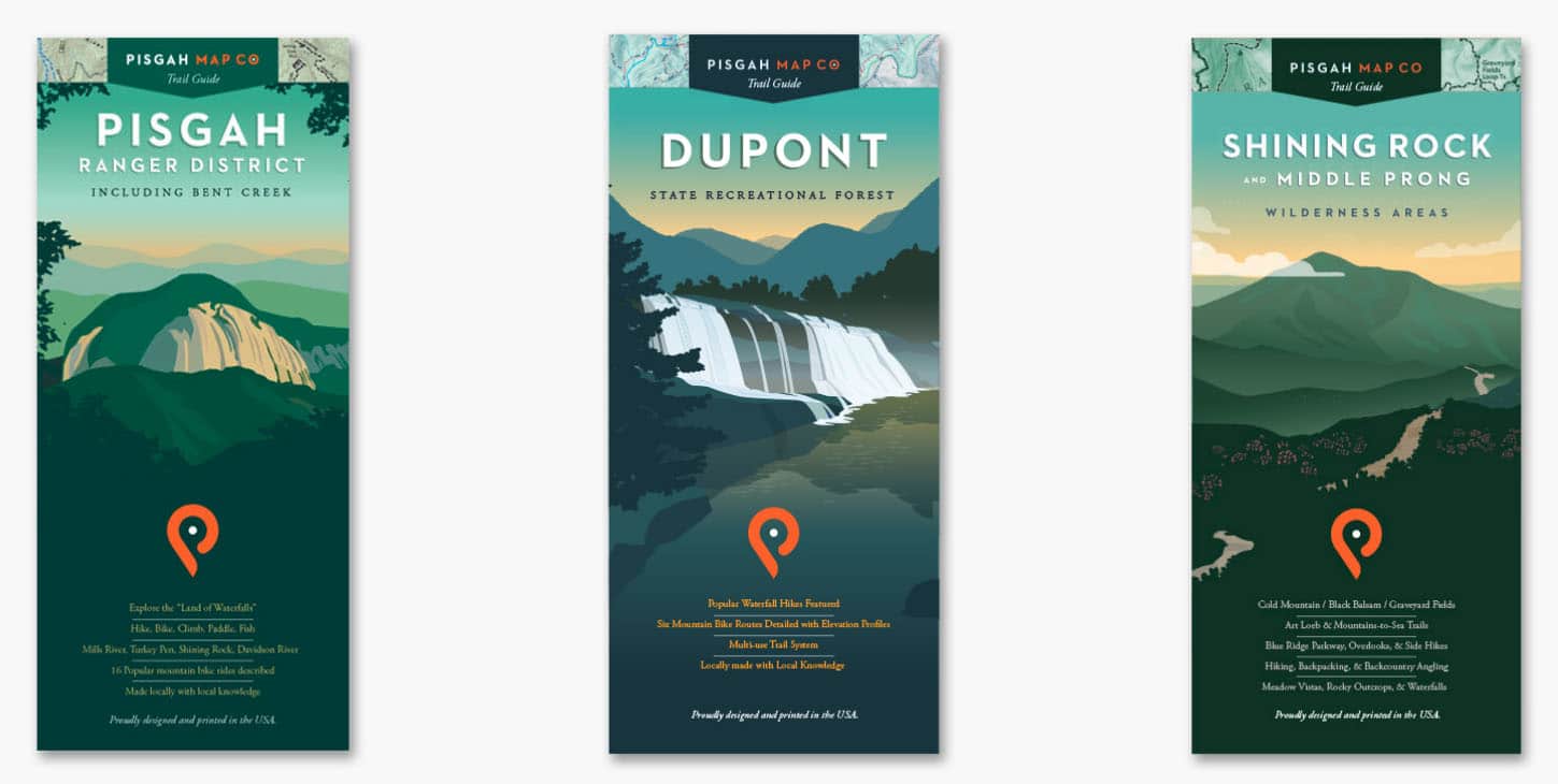
Pisgah Map Company was founded in 2009 with the simple idea to make a better map of the places we love to explore in and around Pisgah National Forest’s Pisgah Ranger District. The idea was born from an opportunity to improve upon currently-existing maps by focusing extent, incorporating local knowledge, and performing frequent updates. Since then, we’ve expanded our catalog of maps to 10 trail guides covering iconic areas across the southern Appalachian Mountains, along with customized GIS analysis and cartography.

How long have you been a part of the OBA and why did you join?
We’ve been a member of OBA for less than a year, but joined as soon as we realized there was an opportunity to do so. We joined because we’re stoked to be part of the outdoor recreation and gear-producing community here in Western North Carolina, and look forward to opportunities to collaborate with other OBA members and constituents.
Have you collaborated with any other members or outdoor companies in WNC?
Over the years, we’ve collaborated with outdoor recreation industry partners on countless fundraisers to support trail work, advocacy, and education in the area. We also support several outdoor recreation and conservation-oriented non-profits and local businesses, including land trusts, trail advocacy groups, outdoor gear-oriented manufacturers, and local outdoor gear retailers. We’ve recently supported the efforts of Pisgah Area SORBA, Pisgah Conservancy, Friends of DuPont Forest, FIND Outdoors, G5 Trail Collective, and the Northwestern NC Mountain Bike Alliance. We are excited to work with others in the future.
Share with us something special about your community, neighbors, etc…
We’re proud to have a staff of local Western NC residents who love the outdoors, and enjoy the opportunity to provide people with a product that helps build a sense of place and understanding of the beautiful public lands around us. We’re also fortunate to have a network of local businesses and retailers who stock our maps, and support our effort to provide the best locally made maps in the region.
We’re lucky to produce these products in an area with a ton of interested users, where a folded trail guide is a staple component of their planning process before, during, and even after outdoor adventures. It’s rare to hit the trails without running into someone in the woods with excitement and wonder in their eyes as they pour over one of our maps, considering all the possibilities for exploration.
We are also grateful to work with amazing land managers and partners who steward the public spaces that we create these maps for. Over the years, the input from land managers and other public stewards has been vital to the success of our maps.
What are you most excited about for the future of your company and/or the outdoor industry in WNC?
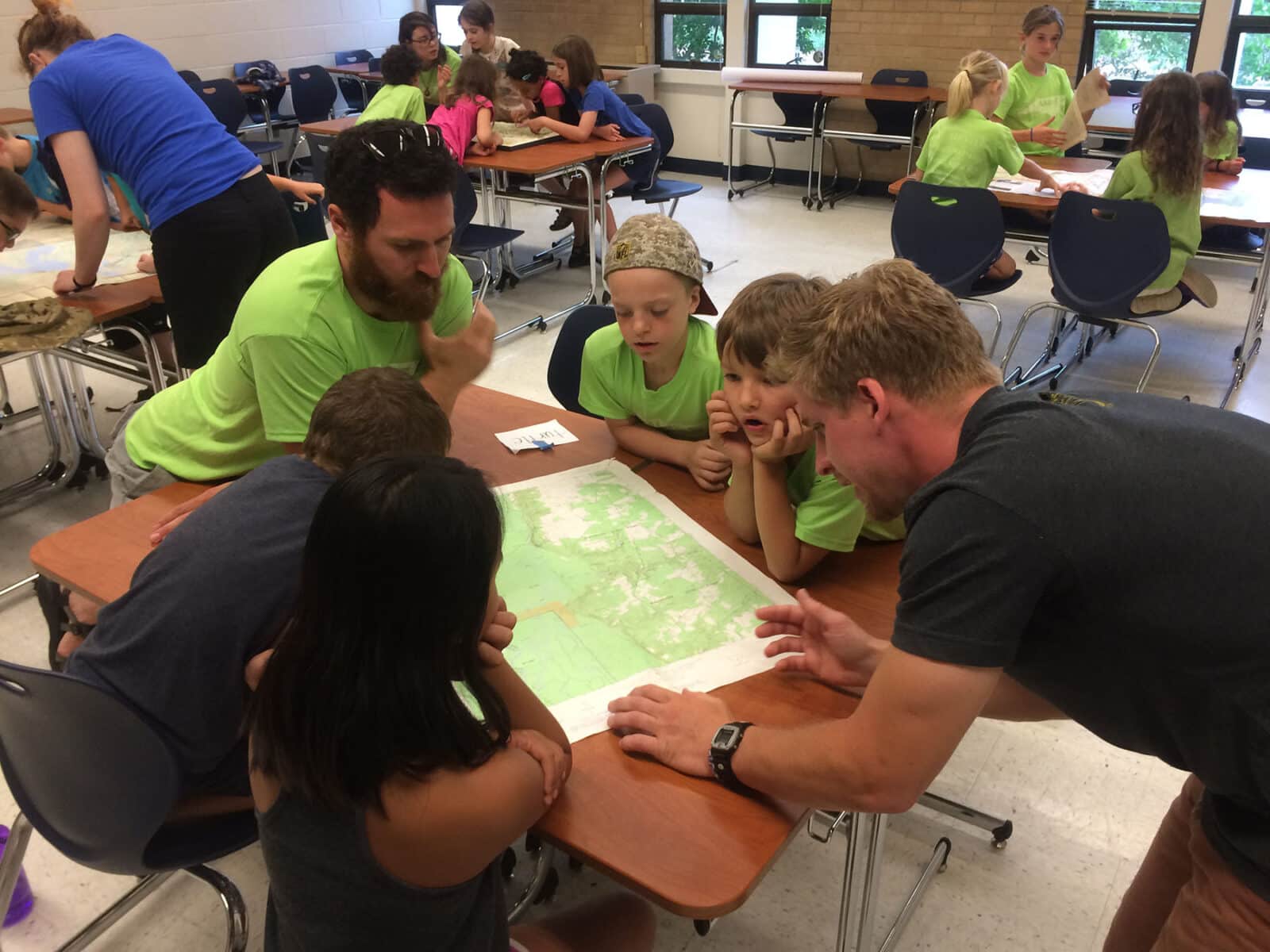
As the demand for outdoor recreation continues to expand in our region, we’re excited to offer new products of areas we haven’t mapped. We strive to produce beautiful maps with detailed information. More than that, we hope our maps help tell the story of these wild places and reconnect people with nature. In the process, educating users and fostering a conservation mindset. Don’t worry, we also plan to continue our yearly map updates and revisions to improve our current maps and make them better and better all the time.


